|
||||||||||


|
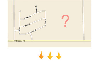
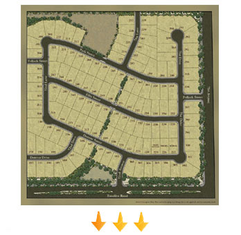
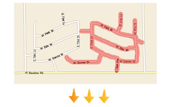
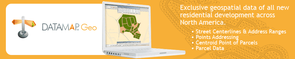
DataMap GEO (formerly DataMap STREETS) is our most in-depth geospatial solution for new residential development. Because newly created residential developments are usually built on freshly minted, unmapped streets, it is difficult and time consuming to keep track of every new street location. DataMap GEO tracks this information, together with the vital characteristics of each development, and provides it to you in real-time. What sets DataMap GEO apart is our real time pulse in tracking all new streets that are in the “move in” developmental stage. Our exclusive dataset is of the highest quality and boasts sub meter accuracy (see sample of DataMap vs. other vendors here). Data available in DataMap Geo:
Data Samples in Geospatial Format: (Email us to request a larger sample of our dataset.)
|